Integrated Modeling of Hydroclimatology
Disturbance Effects to Hydroclimatology
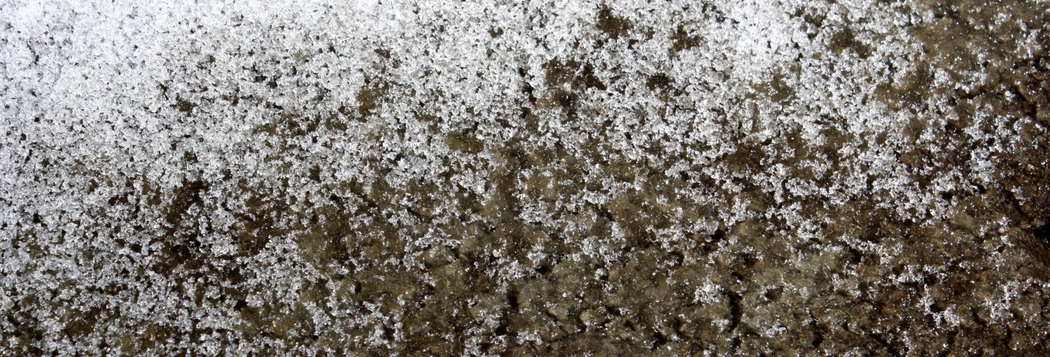
To evaluate forest fire effects to water resources across a burned area, I developed empirically-based parameterizations of post-fire effects to the temporal and spatial variability of snow accumulation and melt in burned and unburned forests. Within a physically-based, spatially distributed snowpack energy and mass balance model, I incorporated three primary modifications to the model: 1) a the rain/snow partition function, 2) a representation of the burned and unburned forest canopy structure derived from field measurements and remote sensing, and 3) a variable post-fire albedo decay function derived from spectral field measurements. These post-fire parameterizations improved model performance of the temporal and spatial variability of snow albedo and snow water equivalent compared to models using both fixed and variable parameterizations for forests that did not account post-fire effects to snow hydrology.
Through measurements and integrated hydroclimate modeling, this study demonstrated that even though more snow may accumulate in burned areas than unburned forests, forest fire effects increase snow albedo decay and accelerate snow melt, shorten the duration of snow cover and advance the date of snow disappearance across the extent of a burned forest.
Snow – Vegetation Interactions across a Forested Watershed
 Throughout my doctoral work, I worked with a team of scientists funded by a National Science Foundation Water Sustainability and Climate Award, titled Willamette Water W2100: Anticipating water scarcity and informing integrative water system response in the Pacific Northwest. Working both independently and with others, I developed multiple algorithms to improve the representation of variability in snowpack accumulation and melt across the Willamette River Basin in the integrated regional-scale model Envision, using the simplest possible functions to preserve computational efficiency. Using empirical measurements and remote sensing data I developed forest canopy snow interception function, a variable snow albedo function, and a post-fire regeneration routine of forest-hydroclimate interactions.
Developing a Representative Hydroclimate Monitoring Network
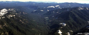
 As a research assistant with the Mountain Hydroclimatology Group at OSU, I evaluated the statistical representativeness of the existing snow monitoring network in the Oregon Cascades within the context of a projected future warming climate. Under moderate warming scenarios, I discovered that much of the existing network would stand outside the area which will hold the majority of the snowpack under future conditions. By coupling a physically-based spatially distributed hydroclimate model using current and future climate scenarios, a non-linear statistical model, and a geospatial model, I designed the distribution of a representative snow monitoring network that captures the variability in snow accumulation in forested and open areas, from the rain/snow transition zone to high elevations zones. This snow network was deployed in the winter of 2011/2012, and is still functioning as of the winter of 2016/2017. Please see the associate publication from this research here.
Ecohydrology Interactions in the Peruvian Highlands
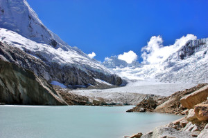
Enabled by a Grey Family Research Award and OSU Graduate Research Travel Award, I developed a simplified vegetation classification system for the DHSVM hydroclimate model that was representative of broad ecosystem functional groups native to the Peruvian highlands. Using field-based measurements and remote sensing, the structural and functional characteristics of the vegetative landscape were incorporated into the DHSVM model to evaluate seasonal cycles in glacier melt across the Llanganuco Basin in Peru.