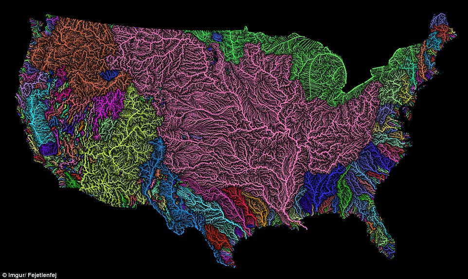
The Veins of America: River Basins of the Continental United States
This stunning map shows the drainage basins of the CONUS using the Strahler Stream Order Classification so larger streams are shown as thicker lines. This map was developed using USGS data, however it does seem strange to exclude the watershed contributions beyond the political boundary with Canada.
_____________________________________________________________
James Balog and crew have drawn awareness to global change through amazing footage of glacier melt in the Arctic Circle.
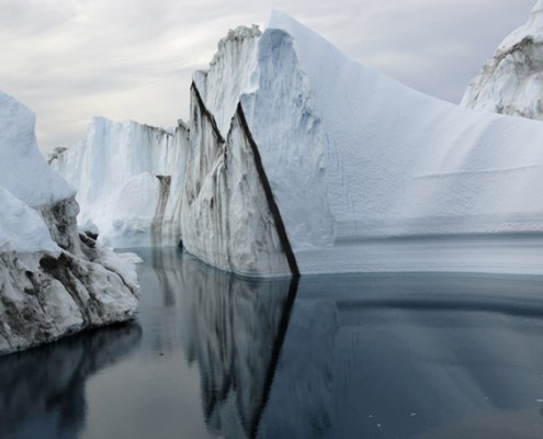
Check out the film “Chasing Ice“, and the Extreme Ice Survey.
____________________________________________________
Wind Map
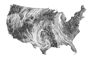
Check out this amazing, “living portrait” map (here) showing the delicate tracery of wind flowing over the US. The wind map is a personal art project, using surface wind data from the National Digital Forecast Database. These are near-term forecasts, revised once per hour.
______________________________________________________
NASA’s Airborne Snow Observatory
______________________________________________________
Earth as Art
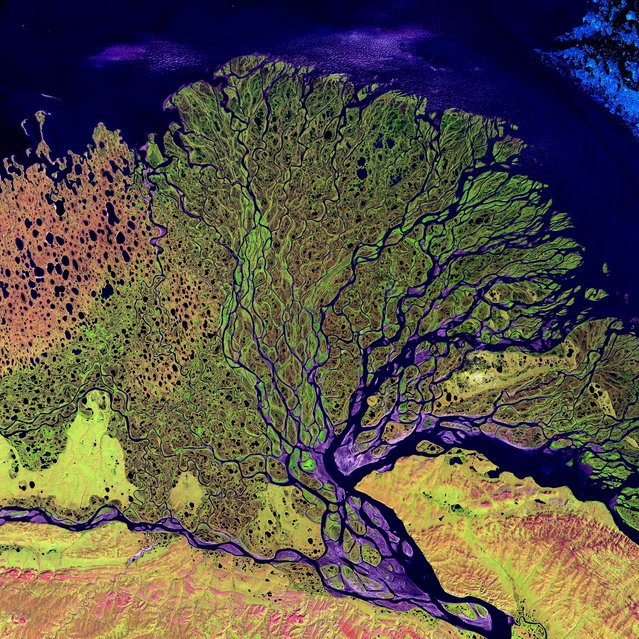
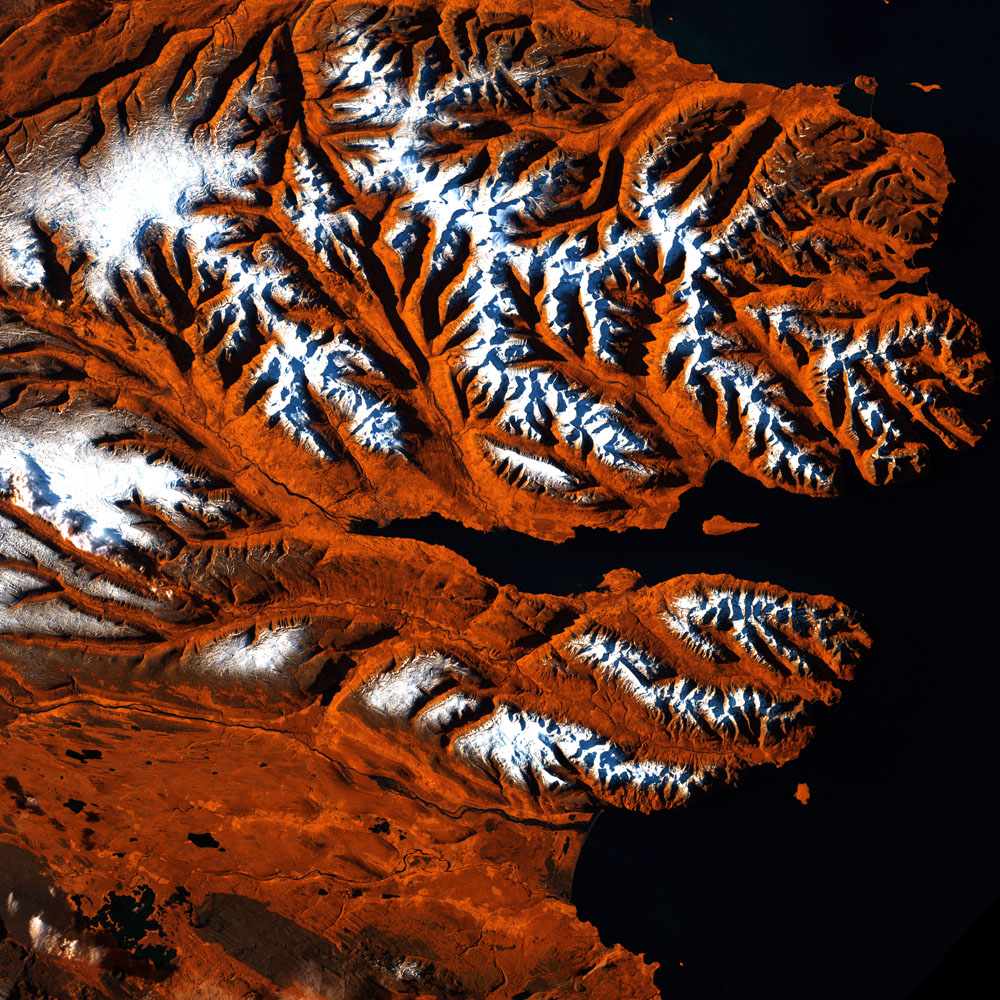
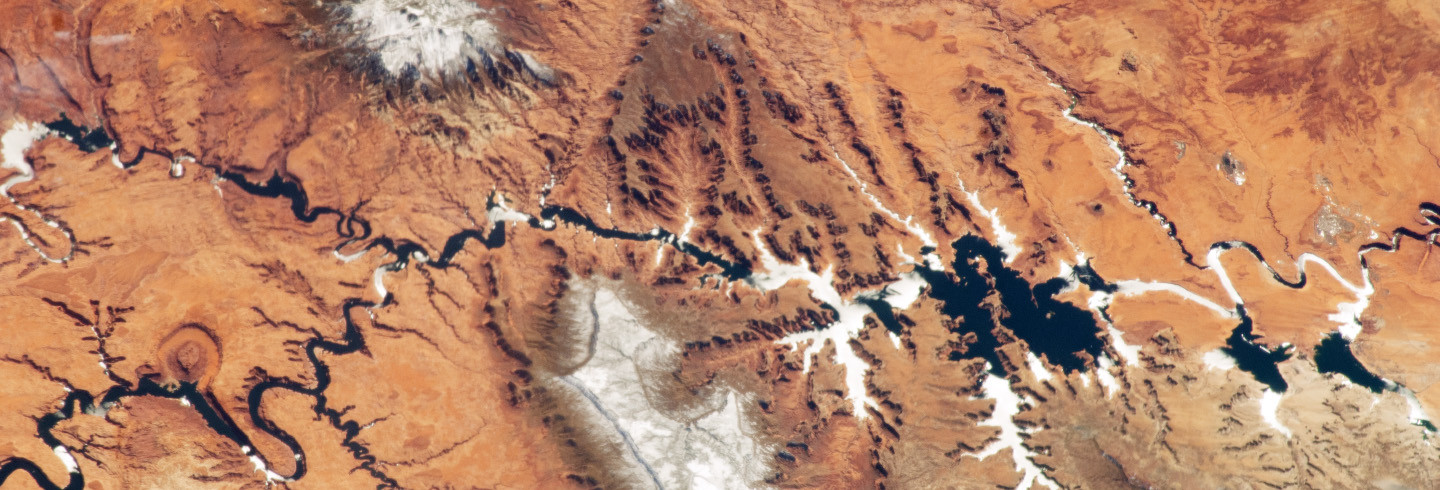
In 1960, the United States put its first Earth-observing environmental satellite into orbit around the planet. Over the decades, these satellites have provided invaluable information, and the vantage point of space has provided new perspectives on Earth. A new book celebrates Earth’s aesthetic beauty in the patterns, shapes, colors, and textures of the land, oceans, ice, and atmosphere. The book features 75 stunning images of Earth from the Terra, Landsat 5, Landsat 7, EO-1, and Aqua satellites. Sensors on these satellites can measure light outside of the visible range, so the images show more than what is visible to the naked eye. The images are intended for viewing enjoyment rather than scientific interpretation. The beauty of Earth is clear, and the artistry ranges from the surreal to the sublime.
Here’s a link to more pictures!
